Last updated: September 3, 2024
Article
Climate Change in Timucuan Preserve

NPS
National Parks have had a front row seat in seeing how climate change is impacting our natural and cultural resources. We also have hundreds of parks that tell a history of the American people innovating, organizing, and rising to the call when the nation was in need, so we know there is opportunity for all of us to work together and tackle this challenge. At Timucuan Preserve, climate change challenges are being addressed using partners, science, and indigenous conservation techniques.
Climate Change and Plants
Park staff discovered a large group of mangroves at Timucuan in northeast Florida. These mangroves included what was the most northern mangrove ever found in North America at the time. Our discovery shows that mangroves now exist further north than previously documented, giving evidence that plant communities are moving in response to climate change.Mangroves are woody, tropical, coastal wetland plants that can tolerate tidal flooding and the salt found in coastal estuaries. In the United States, you can find them along the coast in Texas, Louisiana, and southern Florida. In their native range, mangroves protect coastal structures and habitats from major storm events and provide places for fish to live and breed. There are three species of mangroves native to the U.S.: black, red, and white. The group of mangroves we discovered in a salt marsh at Timucuan on Fort George Island are mainly red mangroves, which are less tolerant of freezes than black mangroves.
Rising temperatures are causing temperate zones to warm. At the same time, extreme winter weather has decreased in North America, allowing mangrove migration northward. Mangrove trees spread their propagules (a reproductive structure like a seed) through water and tides. More frequent storms could transport these propagules even farther. In 2017, Hurricane Irma left huge amounts of them on Florida beaches outside of where mangroves normally grow. Prior to warmer temperatures and milder winters, these propagules might not have survived. But now they threaten to displace native, more cold-tolerant salt marsh plants.
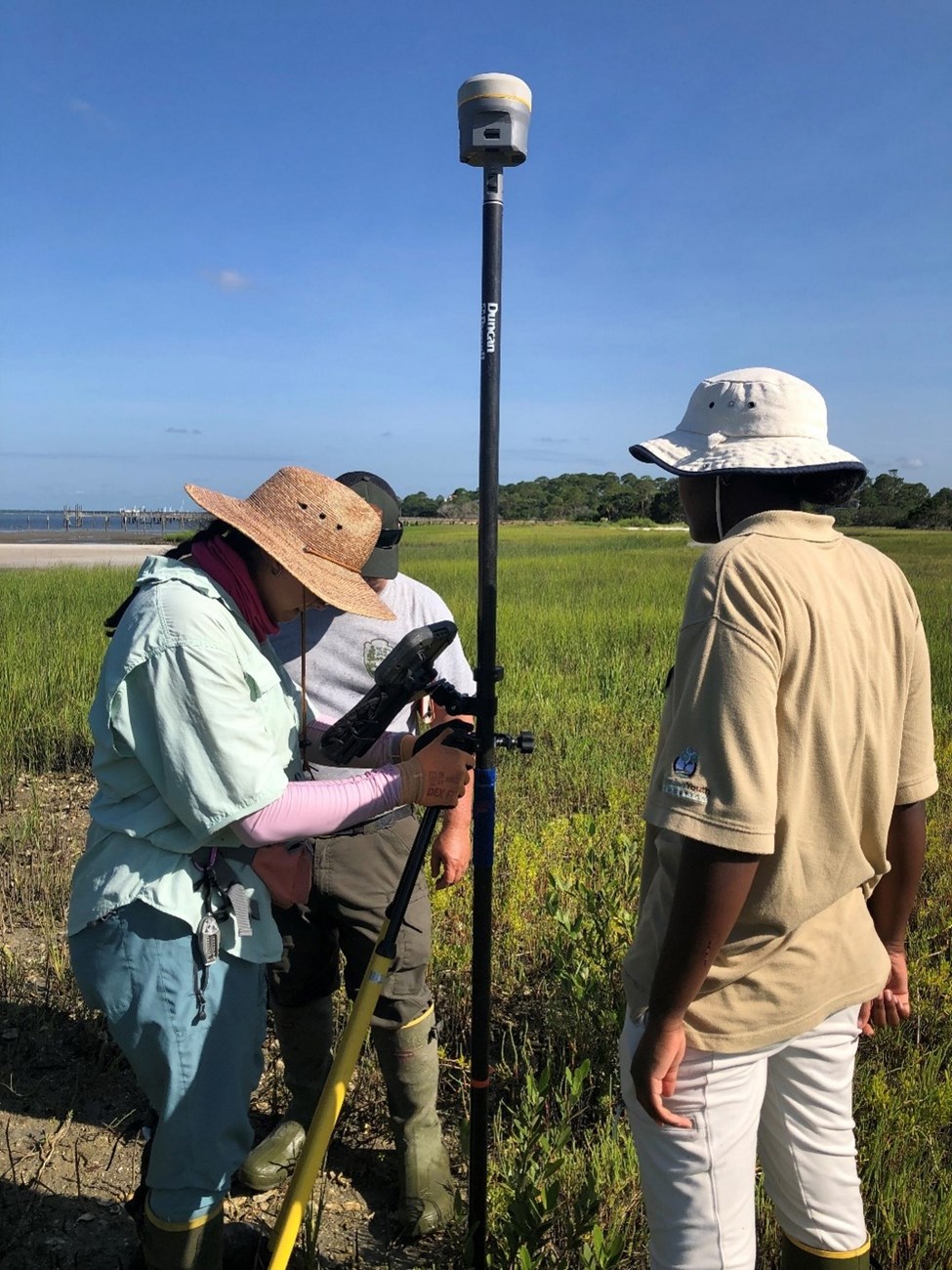
While the mangroves are thriving now, an eventual cold snap could kill them off. Chief of Resource Stewardship Steve Kidd explained “Long-term, I fear that large areas of salt marsh will be lost due to mangrove migration, and if we have a sustained freeze that destroys the mangroves, what will we be left with?” Other plants and animals migrate in reaction to changing climate and weather events. By monitoring park biodiversity, rangers are able to study these changes, learn, and take action when needed. Learn more about the Migrating Mangroves. Marching Mangroves: Finding the Most Northern One Is Just the Beginning (U.S. National Park Service) (nps.gov)
Climate Change and Animals
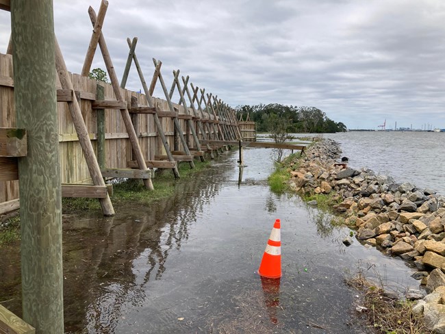
The preserve is at risk from sea level rise due to melting ice caps and the warming ocean. Areas like salt marshes and coastal wetlands may be flooded, leading to the loss of habitat for many animals, including migratory birds, fish, and crabs. For example, the roseate spoonbill, a bird that relies on shallow waters for feeding, may find it harder to find suitable habitats if their homes are underwater.Animals will change their behaviors in reaction to increased weather events such as hurricanes and wilfires. Warming temperatures have already brought the nine-banded armadillo into the region. Continued temperature rise may lead to other species migration including invasive animals such as Burmese pythons, which have been expanding north from Everglades National Park at an alarming rate. Storm events also bring in invasive animal populations and as hurricanes increase the park will continue to monitor for new animals in the preserve.
Because changes in habitat and the food web impact the enitre wildlife community there are impacts that we may not yet know about.

NPS
Climate Change and You
Temperatures at Timucuan Preserve have already increased considerably. Average annual temperature increased at the rate of 1.8 °F per century from 1895-2022, and since the acceleration of climate changes around 1970, temperatures have increased at the rate of 5.4 °F per century. The hottest two years before 2000 were 1990 and 1998, and these anomalies were exceeded in 4 years since 2000.What does that mean for your visit?
- Be prepared for heat, bring water and a salty snack on summer hikes.
- Check both the Alerts section of the website and local weather reports before you head out.
- As tropical force storms approach the park closes to give staff time to evacuate, the park remains closed through clean up for safety reasons, as storms increase in frequency park closures will increase.
- The park may look different on your next visit, erosion, changes in plant-life, drought, and flooding are all dynamic forces that will change the way the park looks.
- Ranger Tip: During high tides water often makes the Fort George Road entrance to Kingsley Plantation impassable take Palmetto Avenue instead.
What can YOU do to help?
You can:- Talk to friends and family about climate change and how it will likely affect your community. Your voice has an impact, especially with people you know and trust.
- Find or start a climate action group in your area. Talking with people who also are concerned often inspires hope and change.
- Volunteer with local ecological groups – or with national parks like Timucuan Preserve! Any work that helps ecosystems is climate work.
- Check out this guidance for conservation at home!

NPS
