Part of a series of articles titled Lewis and Clark Trail 2024 Annual Report.
Article
Proactive Protection of Natural Resources on the Lewis and Clark National Historic Trail

NPS photo
About this article: This article was originally published in the Lewis & Clark Trail Annual Report 2024.
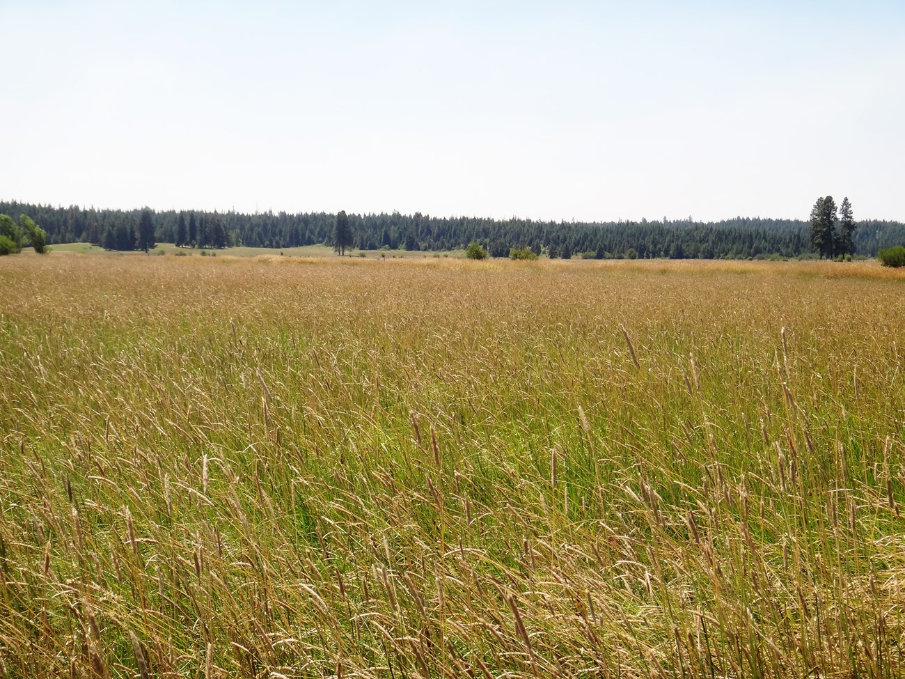
A new approach to protecting the Trail’s natural resources
The National Park Service (NPS) faces unique challenges in administering the Lewis and Clark National Historic Trail, a 4,900-mile trail that passes through 16 states and is comprised of a mosaic of different landowners. Although NPS staff do not directly manage the land and resources along the Trail, we are able to positively impact land management through collaboration with partners and participation in planning efforts.
Recently, the Trail has endeavored to adopt a more proactive approach to natural resources stewardship, a change from the largely reactive approach related to compliance and environmental protection of the past. Staff from the Resources Stewardship team are developing a Natural Resources Strategy and conducting analysis of Trail resources using the most current geospatial data and resource information. These efforts will help identify the issues, stressors, and threats and provide staff with opportunities for outreach and collaboration on natural resources stewardship activities with our many partners trailwide.

NPS photo
By the Numbers
40 Proposed actions evaluated in 2024 for potential impacts to the Trail's resources and values.
Tags
- lewis & clark national historic trail
- lewis and clark trail annual report 2024
- lewis and clark trail
- lewis and clark national historic trail
- lewis and clark expedition
- partnerships
- partners
- annual report 2024
- pennsylvania
- west virginia
- ohio
- indiana
- kentucky
- illinois
- missouri
- kansas
- nebraska
- iowa
- south dakota
- north dakota
- montana
- idaho
- washington
- oregon
Last updated: March 4, 2025
