Part of a series of articles titled NCBN Highlights | FY24.
Article
SIP, SOPs, and Salt Marshes: Edward Cascella’s Work Using Remote Sensing to Analyze Salt Marsh Vegetation
Wrapping up our year...
Highlighting the work of the Northeast Coastal and Barrier Network in FY24.

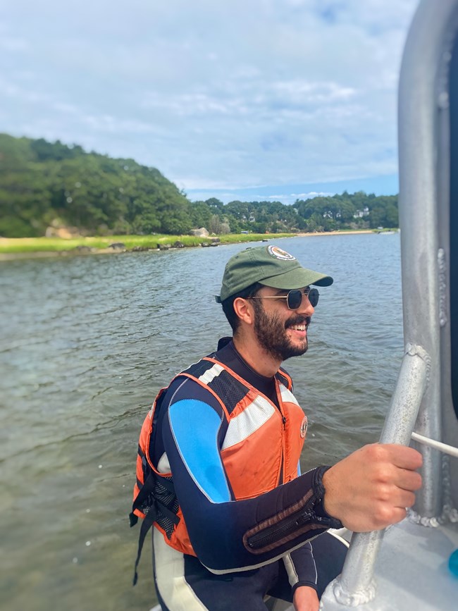
Katie Button / NPS Photo
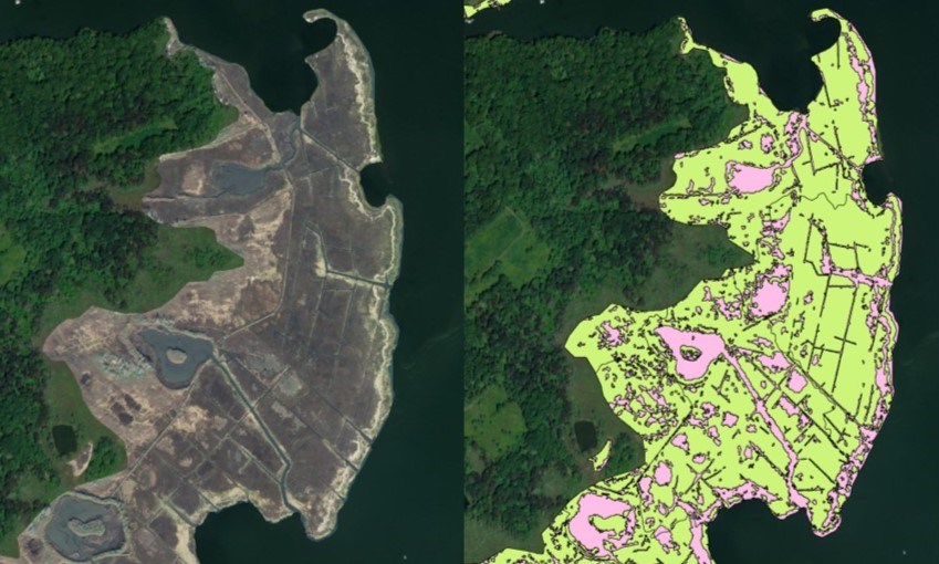
This summer, Scientists-in-the-Parks (SIP) intern Edward Cascella worked on expanding NCBN’s salt marsh monitoring to include using satellite imagery to track salt marsh composition changes. Through cooperating with the Southeast Coast I&M Network and researchers at the USGS Woods Hole Coastal and Marine Science Center, Cascella drafted two standard operating procedure (SOP) documents for using satellite imagery to monitor the vegetated and unvegetated areas within NCBN coastal marshes.

Eddie Cascella
Cascella’s work will extend into using satellite imagery to monitor changes in marsh edge. Although his SIP internship has ended, he is continuing work on the SOPs while completing his master’s degree in environmental science and management at the University of Rhode Island. His efforts have contributed to NCBN’s commitment to finding new and innovative approaches to monitoring that utilize advanced technology and cooperation across other networks and agencies to promote scientific excellence and integrity.
Tags
Last updated: November 18, 2024
