Last updated: March 31, 2025
Place
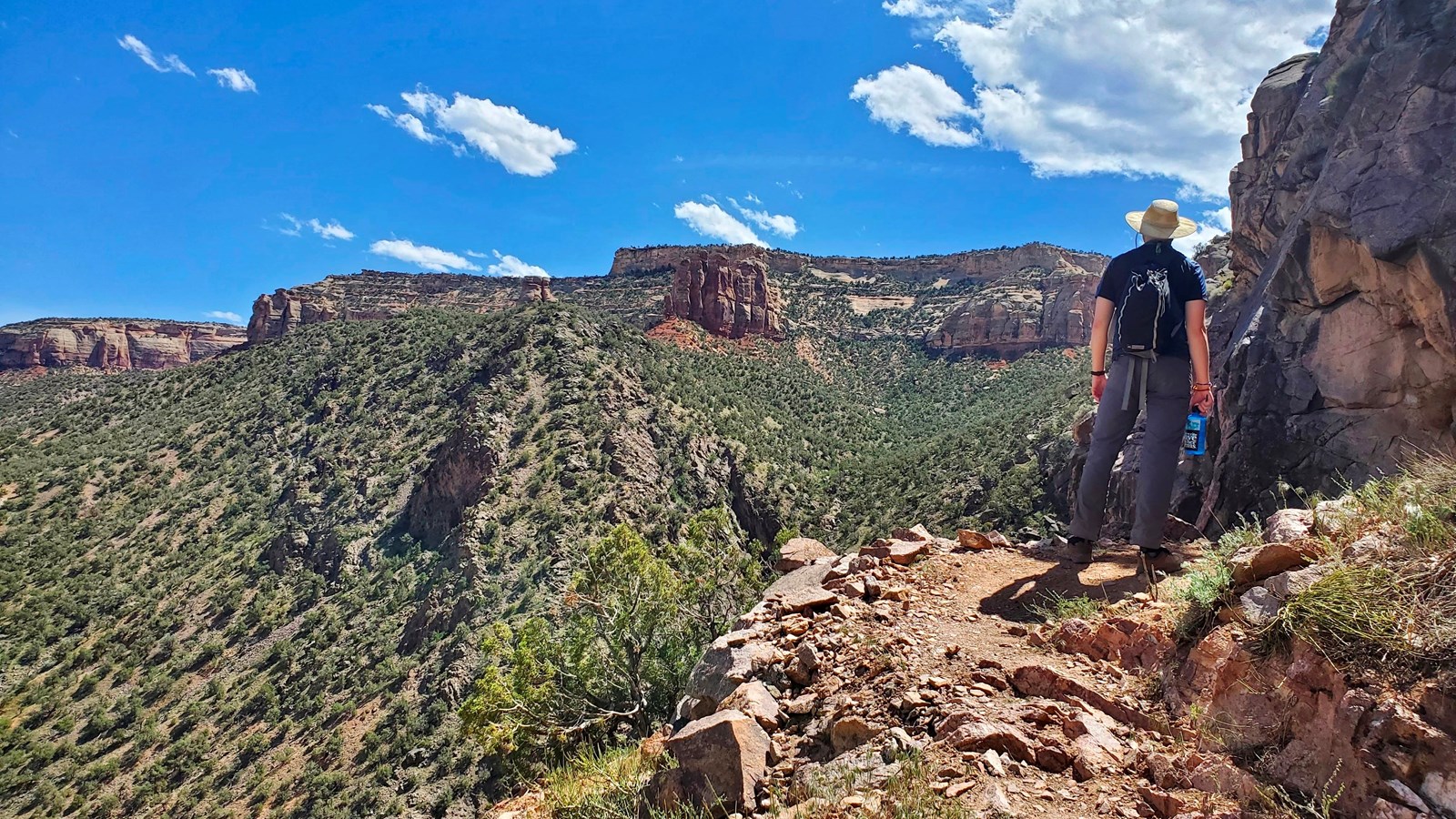
Corkscrew Trail (Colorado National Monument)
NPS Photo / N Scarborough
Quick Facts
Location:
Lower Liberty Cap/Wildwood Trailhead, outside the Monument
Amenities
2 listed
Parking - Auto, Trailhead
Corkscrew Trail (Colorado National Monument)
Map highlighting in red Corkscrew Trail in Colorado National Monument as a short segment that connects to Lower Liberty Cap Trail to form a loop.
- Location: From the east entrance, proceed north on Monument Road 0.6 miles (1.0 km); turn left on South Camp Road. Drive 2.6 miles ( 4.2 km) to its junction with South Broadway. Turn left and go 0.5 miles (0.8). Turn left onto Wildwood Drive and go 0.5 miles (0.8 km) and watch closely for a brown trailhead sign on the right at what appears to be driveway. Turn down this road to the trailhead. This trailhead is shared with Ute Canyon Trail and Liberty Cap Trail.
- Mileage: 3.3 one way (5.3 km)
- Difficulty Level: Moderate to strenuous
- Elevation: 4,800 feet (1463 meters)
- Average time: 2 1/2 hours
- Usage: Hiking only. Horses prohibited.
- Description: Originally built by John Otto in 1909. Follow Liberty Cap Trail to trail junction sign at 1.0 mile (1.6 km). Turn left and hike 0.2 miles (0.3 km) to Corkscrew Trail sign; descend steep "corkscrew" switchbacks. Follow Corkscrew Connector Trail signs back to the trailhead.