Last updated: November 27, 2020
Place
Crimson Bluffs

Lewis and Clark NHT Visitor Centers and Museums
This map shows a range of features associated with the Lewis and Clark National Historic Trail, which commemorates the 1803-1806 Lewis and Clark Expedition. The trail spans a large portion of the North American continent, from the Ohio River in Pittsburgh, Pennsylvania, to the mouth of the Columbia River in Oregon and Washington. The trail is comprised of the historic route of the Lewis and Clark Expedition, an auto tour route, high potential historic sites (shown in black), visitor centers (shown in orange), and pivotal places (shown in green). These features can be selected on the map to reveal additional information. Also shown is a base map displaying state boundaries, cities, rivers, and highways. The map conveys how a significant area of the North American continent was traversed by the Lewis and Clark Expedition and indicates the many places where visitors can learn about their journey and experience the landscape through which they traveled.
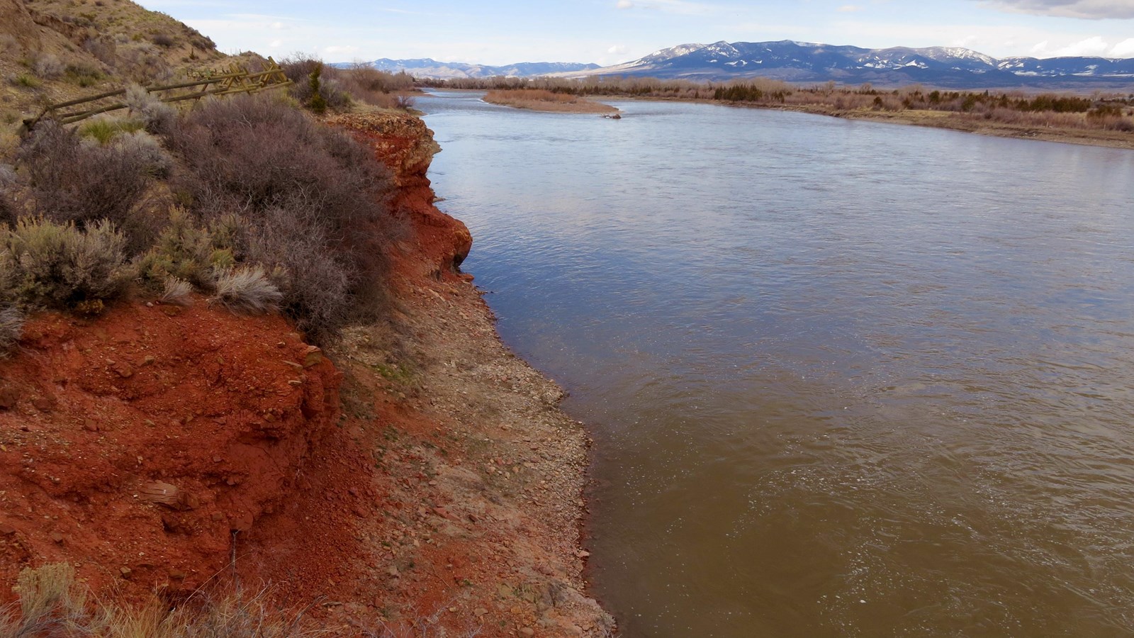
On July 24, 1805, five days and over 50 river miles after the Corps of Discovery passed through the Gates of the Rocky Mountains, Lewis described “a remarkable bluff of a crimson coloured earth on Stard. intermixed with Stratas of black and brick red slate.” Gass added that, according to Sacagawea, the “red earth” was used by “natives” for paint. Clark, who was traveling on foot, passed above the bluffs and did not view them.
Located nearly a mile east of the city of Townsend, the distinctive bluffs are an exposure of Pre-Cambrian Greyson Shale. By the late-1990s the scenic quality of the natural features was increasingly threatened by encroaching real estate development. A preservation effort led by the Crimson Bluffs Chapter of the Lewis and Clark Trail Heritage Foundation culminated in the 2002 acquisition of a 50-acre parcel of land encompassing the bluffs by the Bureau of Land Management. Crimson Bluffs is open to the public and may be accessed via foot traffic or viewed by boat from the river. There is a small parking area off River Road, with a footpath that is about one-third of a mile leading to an overlook of the bluffs.
