Last updated: October 5, 2020
Place
Decision Point

Quick Facts
MANAGED BY:
Amenities
1 listed
Historical/Interpretive Information/Exhibits
Lewis and Clark NHT Visitor Centers and Museums
Visitor Centers (shown in orange), High Potential Historic Sites (shown in black), and Pivotal Places (shown in green) along the Lewis and Clark National Historic Trail
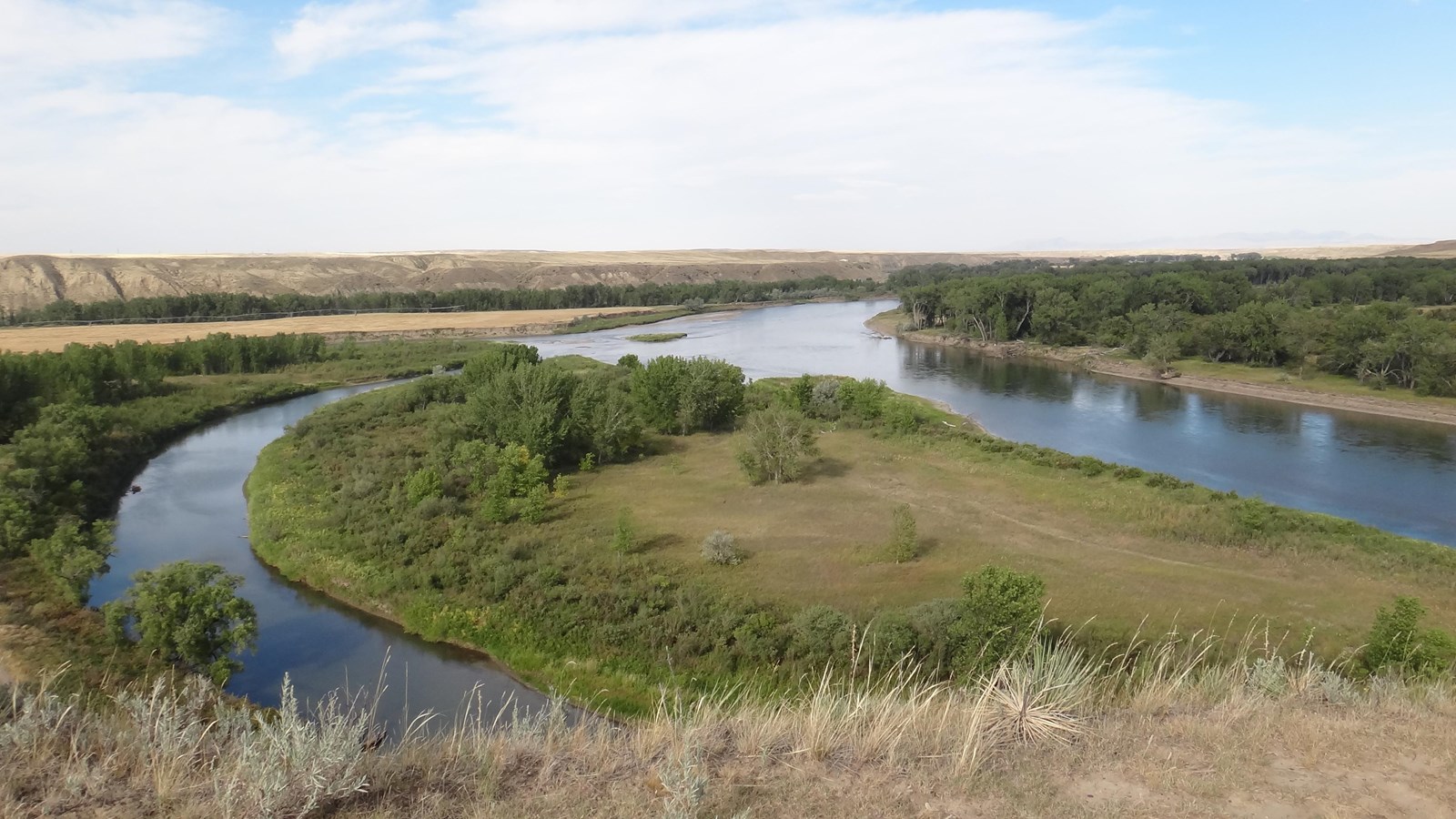
On June 2, 1805, the expedition arrived at the confluence of the Marias and Missouri rivers. The following day Lewis wrote, “This morning early we passed over and formed a camp on the point formed by the junction of the two large rivers. here in the course of the day I continued my observations […]. An interesting question was now to be determined; which of these rivers was the Missouri”. Most of the party believed the north branch to be the Missouri, because its water was the same muddy consistency as the rest of the Missouri. By contrast, the waters of the south branch ran clear. Lewis and Clark suspected this branch was the Missouri, as the clear water indicated it sprang from the mountains. Choosing the wrong course would, at the least, cost valuable time and damage morale. At the worst, it could have derailed the entire expedition. To gain greater certitude, Lewis and Clark spent the next five days exploring both rivers. By June 8, they correctly determined the south branch to be the Missouri River. The expedition spent the following few days refitting equipment and caching supplies to be retrieved during the return trip. On July 28, 1806, Lewis reunited with part of the Corps several miles upstream on the Missouri River, following a skirmish with the Blackfeet two days prior. They then retrieved a cache left at the mouth of the Marias River.
Decision Point, owned and managed by the BLM, is located near the town of Loma. There is a public parking area and interpretive signage. Visitors can hike to a scenic overlook of the Marias and Missouri confluence.
Learn more at Discovering Lewis and Clark.
