Last updated: March 31, 2025
Place
Devils Kitchen Trail (Colorado National Monument)
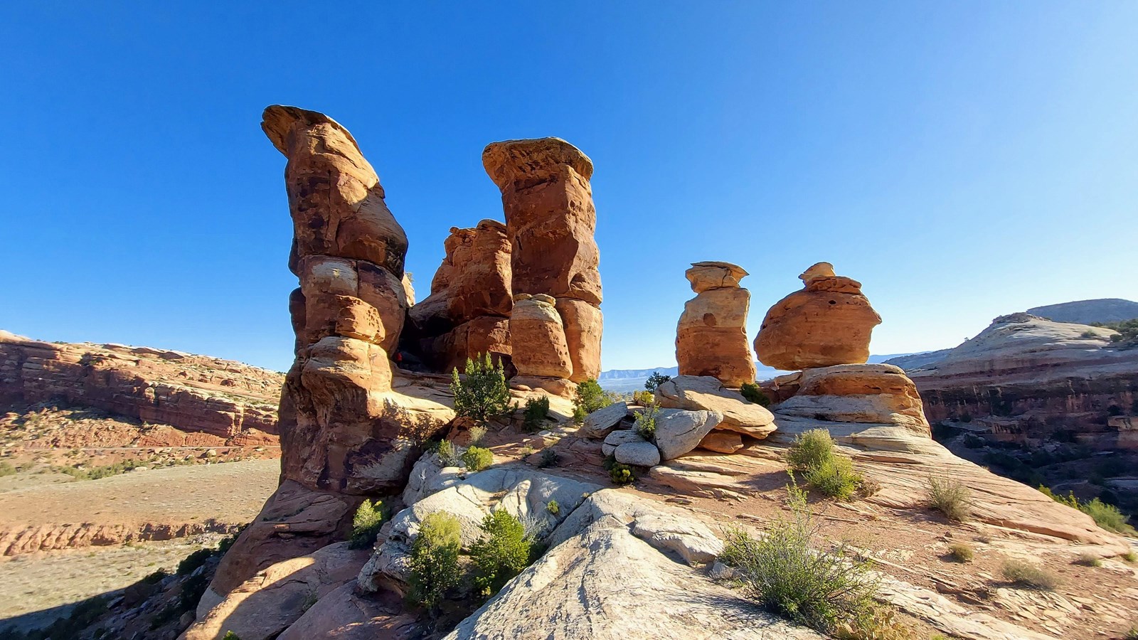
NPS Photo / N Scarborough
Quick Facts
Location:
Just inside the East (Grand Junction) Entrance
Amenities
2 listed
Parking - Auto, Trailhead
Error: You have supplied an invalid NPMap ID. Please edit this element's data and check to ensure the id is correct.
- Location: From the east entrance, travel 0.2 miles (0.3 km). Limited parking is on the left. For additional parking, turn right into the Devils Kitchen Picnic Area. The trailhead is shared with two other trails: No Thoroughfare Canyon Trail and Old Gordon Trail. Serpents Trail access is across the road.
- Mileage: 0.75 one way (1.2 km)
- Difficulty Level: Moderate
- Elevation: 4,990 to 5,060 feet (1521 to 1542 meters)
- Average time: 1 hour
- Usage: Hiking and horseback riding.
- Description: Gradual ascent to a natural opening formed by a circle of huge upright boulders. At the first fork, go right. At the second fork, go left. Follow the trail across the wash. As you proceed up the canyon, you will see the large rock grotto that is Devils Kitchen. Keep on the established trail and follow the carved steps up the slickrock. As you approach the base of the rock formation, go left around it and hike into the rock opening.