Last updated: November 27, 2020
Place
Packer Meadow
Quick Facts
Designation:
National Register of Historic Places, National Historic Landmark
MANAGED BY:
Lewis and Clark NHT Visitor Centers and Museums
This map shows a range of features associated with the Lewis and Clark National Historic Trail, which commemorates the 1803-1806 Lewis and Clark Expedition. The trail spans a large portion of the North American continent, from the Ohio River in Pittsburgh, Pennsylvania, to the mouth of the Columbia River in Oregon and Washington. The trail is comprised of the historic route of the Lewis and Clark Expedition, an auto tour route, high potential historic sites (shown in black), visitor centers (shown in orange), and pivotal places (shown in green). These features can be selected on the map to reveal additional information. Also shown is a base map displaying state boundaries, cities, rivers, and highways. The map conveys how a significant area of the North American continent was traversed by the Lewis and Clark Expedition and indicates the many places where visitors can learn about their journey and experience the landscape through which they traveled.
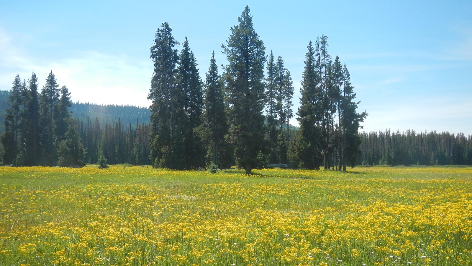
On September 13, 1805, the expedition followed the Lolo Trail across the divide between modern-day Montana and Idaho and followed Pack Creek (their Glade Creek) to Packer Meadow, where they camped overnight. Clark wrote, “we proceeded over a mountain to the head of the Creek which we left to our left and at 6 miles from the place I nooned it, we fell on a Small Creek from the left which Passed through open glades Some of which ½ a mile wide, we proceeded down this Creek about 2 miles to where the mountains Closed on either Side crossing the Creek Several tmes & Encamped.” They passed through the area returning east on June 29, 1806. Lewis wrote, “at noon we arrived at the quawmas flatts on the Creek of the same name and halted to graize our horses and dine having traveled 12 miles. we passed our encampment of the of September at 10 ms. where we halted there is a pretty little plain of about 50 acres plentifully stocked with quawmash and from apperances this fromes one of the principal stages or encampments of the indians who pass the mountains on this road.”
Packer Meadow is located within the Clearwater National Forest, east of the Lolo Pass Visitor Center. It may be named for the mule packers who traditionally supplied remote backcountry locations in national forests. The property was privately owned until 1998, when Plum Creek Timber transferred 160 acres encompassing the meadows to public ownership. There is vehicular access through the area, and hiking trails with interpretive signage. The site is a component of the Lolo Trail National Historic Landmark.