Last updated: November 21, 2024
Place
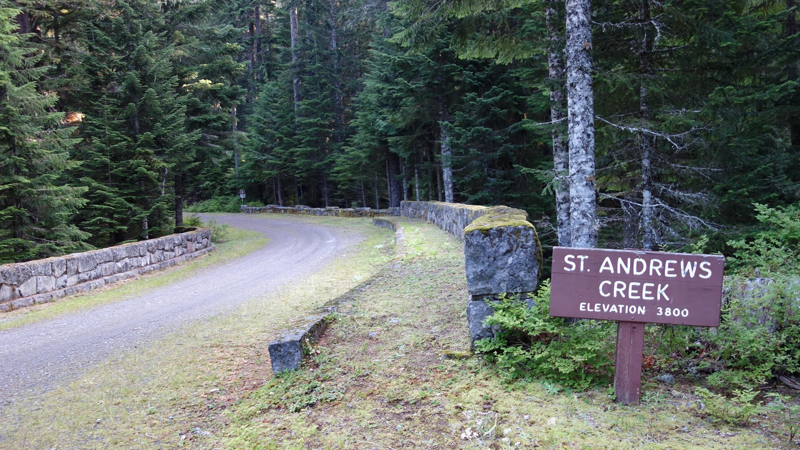
St. Andrews Creek Trailhead
NPS Photo
Quick Facts
Location:
7.2 miles along Westside Road from Dry Creek, which is closed to vehicles.
Amenities
2 listed
Bicycle - Rack, Trailhead
Season: Summer Only (May - November)
St. Andrews Creek Trailhead is located along Westside Road and can only be reached by hiking or biking. The first three miles of Westside Road is open to vehicles during the summer season, with parking at Dry Creek. During the winter, snowshoers and crosscountry skiers can still use the closed road.
Hike or bike approximately 7.2 miles from the Dry Creek parking area to the St. Andrews Creek Trailhead. Bicycles are not allowed on any trails. A bike rack is available next to the trailhead. The St. Andrews Creek trail starts on the right (east) side of the road just past a rock bridge over St. Andrews Creek. On the left (west) side of the bridge a short 0.3 mile loop trail leads to Denman Falls viewpoint. The historic St. Andrews Ranger Cabin is near the start of the St. Andrews Creek Trail, before the trail climbs 2.6 miles up a ridge with long switchbacks to the subalpine meadows of Klapatche Park where the trail connects to the Wonderland Trail.