Last updated: November 27, 2020
Place
Three Forks of the Missouri

Lewis and Clark NHT Visitor Centers and Museums
This map shows a range of features associated with the Lewis and Clark National Historic Trail, which commemorates the 1803-1806 Lewis and Clark Expedition. The trail spans a large portion of the North American continent, from the Ohio River in Pittsburgh, Pennsylvania, to the mouth of the Columbia River in Oregon and Washington. The trail is comprised of the historic route of the Lewis and Clark Expedition, an auto tour route, high potential historic sites (shown in black), visitor centers (shown in orange), and pivotal places (shown in green). These features can be selected on the map to reveal additional information. Also shown is a base map displaying state boundaries, cities, rivers, and highways. The map conveys how a significant area of the North American continent was traversed by the Lewis and Clark Expedition and indicates the many places where visitors can learn about their journey and experience the landscape through which they traveled.
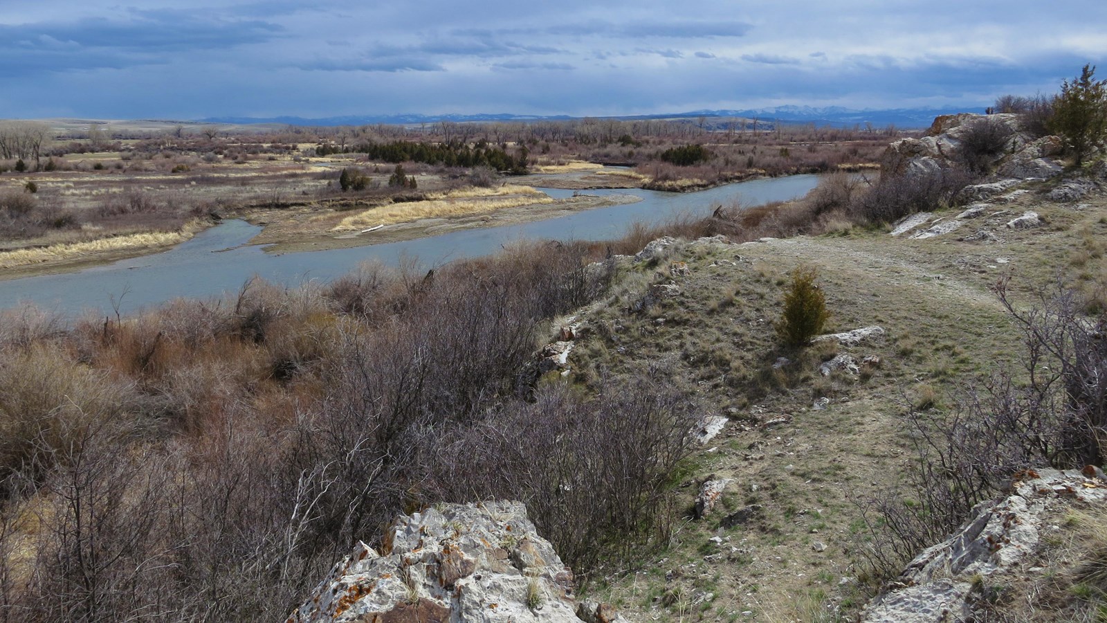
Three Forks of the Missouri is a High Potential Historic Site on the Lewis and Clark National Historic Trail.
On July 25, 1805, the expedition finally reached the headwaters of the Missouri River. It was here that Sacagawea had previously been kidnapped by the Hidatsa during a raid on a Shoshone camp. Clark, who led a scouting party ahead of the main body, wrote, “we proceeded on a fiew miles to the three forks of the Missouri those three forks are nearly of a Size, the North fork [Jefferson River] appears to have the most water and must be Considered as the one best calculated for us to assend middle fork [Madison River] is quit as large about 90 yds. wide. The South fork [Gallatin River] is about 70 yds wide & falls in about 400 yards below the midle fork. those forks appear to be verry rapid & Contain Some timber in their bottoms which is verry extincive.” Lewis arrived two days later and wrote, “beleiving this to be an essential point in the geography of this western part of the Continent I determined to remain at all events untill I obtained the necessary data for fixing it’s latitude Longitude &c.” They spent several days exploring the area and making observations while the company hunted, rested, and refitted. Initially uncertain, Lewis and Clark determined the Jefferson River their best route forward in anticipation of meeting the Shoshone and gaining their assistance. Clark camped at the forks again on July 13-14, 1806, while enroute to the Yellowstone River valley during the return journey.
The confluences of the Three Forks of the Missouri join along the boundary between Broadwater and Gallatin counties, about three miles northeast of the town of Three Forks and within the Missouri Headwaters State Park.
