Last updated: March 10, 2025
Place
Wayside: Loon Lake's Glacial Past
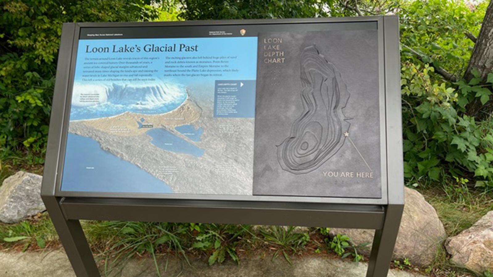
Loon Lake’s Glacial Past Overview. 206 words. Located on the sidewalk to the left of the fishing pier’s entry, beneath a tree, a three-and-a-half foot by two-foot cantilevered panel, standing about three-feet high, explores the geological history that created the lakeshore and Loon Lake. On the right side of the display, a tactile exhibit details the lake’s depth. On the left, introductory text reads: The terrain around Loon Lake reveals traces of this region's ancient ice-covered history. Over thousands of years, a series of lobe-shaped glacial margins advanced and retreated many times shaping the landscape and causing the water levels in Lake Michigan to rise and fall repeatedly. This left a series of old beaches that can still be seen today. The melting glaciers also left behind huge piles of sand and rock debris known as moraines. Point Betsie Moraine to the south and Empire Moraine to the northeast bound the Platte Lake depression, which likely marks where the last glacier began its retreat. To learn more about the glacial history of the area and the depth of Loon Lake, access the menu. End of description.