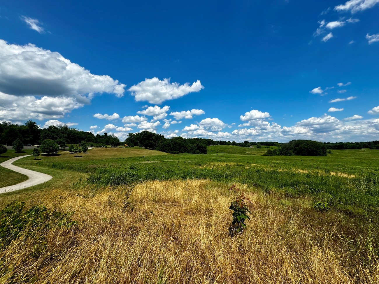
NPS photo by Casey Reese.
Geology and Stratigraphy of the Mid-Atlantic I&M Network
The Mid-Atlantic Inventory & Monitoring Network (MIDN) consists of ten national park units in Pennsylvania and Virginia. The parks include: Appomattox Court House National Historical Park (APCO), Booker T. Washington National Monument (BOWA), Eisenhower National Historic Site (EISE), Fredericksburg and Spotsylvania National Military Park (FRSP), Gettysburg National Military Park (GETT), Hopewell Furnace National Historic Site (HOFU), Petersburg National Battlefield (PETE), Richmond National Battlefield Park (RICH), Shenandoah National Park (SHEN), and Valley Forge National Historical Park (VAFO). In addition, although Cedar Creek & Belle Grove National Historical Park (CEBE) is a non-network park, it is geographically associated with the MIDN and mentioned in this report. The parks of MIDN are primarily recognized for significant cultural and historic resources, including numerous American Civil War battlefield parks.The MIDN include parks in southern Pennsylvania and south-central Virginia. The parks occur within the Atlantic Coastal Plain, Piedmont, and Blue Ridge physiographic provinces. Shenandoah National Park is the largest park in the MIDN and is primarily recognized for natural resources and scenery from atop an iconic portion of the Blue Ridge Mountains known as the Skyline Drive. SHEN towers over the valleys to the east and west of the north–south trending mountains. The highest point in the park is Hawksbill Mountain which summits at 4,051 ft (1,235 m).
The geologic history of the MIDN parks can be described in four phases: (1) the development of the basement rock starting in the Precambrian; (2) uplift and deformation associated with the Alleghanian Orogeny during the late Paleozoic; (3) complex events during the early Mesozoic resulting in the development of the Piedmont Province; and (4) the deposition of Atlantic Coastal Plain marine sediments on the eastern portion of the network (see also, Geologic Time Scale).
The rocks of SHEN extend back into the Neoproterozoic and include Grenville granitic basement rocks, representing some of the oldest rocks in Virginia and for all the MIDN parks. The Blue Ridge Mountains were formed during the late Paleozoic Alleghanian Orogeny which resulted in uplift, folding, faulting, and some metamorphism of the older rocks.
Most of the MIDN parks are located in the Piedmont Province, a plateau region situated between the Atlantic Coastal Plain to the east and the Appalachian Mountains to the west. The Piedmont has a complex geologic history influenced by multiple orogenic events during the Paleozoic involving the formation and breakup of Pangaea. A series of Mesozoic basins existed along the eastern margin of the Appalachians during the Triassic and extended from Virginia into Pennsylvania. During the Triassic the basins were depositional centers where lacustrine sedimentation preserved footprints of early dinosaurs and other vertebrates (GETT and MANA).
Igneous activity during the Jurassic is represented by dikes and sills preserved at several network parks. Coastal plain sedimentation with changing sea level is preserved in several of the network parks in Virginia. The arrival of Europeans in the New World has reshaped portions of the landscape over the past few centuries, leaving historic footprints within many of the MIDN parks.
A Brief Geologic History
A few examples of events and Network resources in each geologic time period are highlighted below, from youngest to oldest.
Paleogene rocks are exposed in three of the Civil War battlefield parks in Virginia: FRSP, PETE, and RICH. The late Paleocene Aquia Formation is mapped in all three of these parks. At RICH the Pamunkey Group includes a sequence of late Paleocene–middle Eocene units including the Aquia Formation, Marlboro Clay, Nanjemoy Formation, and Piney Point Formation.
The Neogene is well-represented at FRSP, PETE, and RICH by formations associated with the Chesapeake Group. The oldest strata of the Chesapeake Group occur in RICH and consists of the 14 Oligocene–Miocene Old Church Formation. The early–middle Miocene Calvert Formation is mapped in portions of FRSP and RICH, and the late Miocene Eastover Formation is distributed across PETE and RICH. Other Miocene units that underlie RICH include the Choptank Formation and St. Mary’s Formation. At VAFO the Miocene Bryn Mawr Formation and late Miocene–Pliocene Pensauken Formation are mapped. Unnamed sand and gravel deposits of the Miocene and Pliocene are distributed across the Chancellorsville, Fredericksburg, and Spotsylvania Courthouse battlefield sites in FRSP. The Pliocene is also exposed in three of the Civil War battlefield parks in Virginia including FRSP, PETE, and RICH. This includes the early–late Pliocene Yorktown Formation mapped in all three of these parks, along with the late Pliocene Bacon Castle Formation. The late Pliocene Moorings Unit also occurs at FRSP.
Several Pleistocene units occur within the park units of the MIDN. The early Pleistocene Windsor Formation and Charles City Alloformation are mapped in both FRSP and RICH. The Chuckatuck Formation is a middle Pleistocene unit present at FRSP, PETE, and RICH where it is overlain by the Shirley Alloformation. At FRSP the late Pleistocene is represented by the Tabb Formation.
Late Triassic rocks are mapped within three park units of the MIDN in portions of GETT, HOFU, and SHEN. The Gettysburg Shale and York Haven Diabase are the predominant bedrock at GETT. Rocks of the Late Triassic Stockton Formation and Hammer Creek Conglomerate underlie HOFU. The Stockton Formation also occurs at VAFO. Late Triassic–Early Jurassic diabase dikes are documented at SHEN. Strata of the Cretaceous Potomac Group/Formation are present at three of the Virginia MIDN parks: FRSP, PETE, and RICH. The Cretaceous Patapsco Formation is present at VAFO.
Cambrian strata are widespread throughout the MIDN parks. The early Cambrian Chickies Formation is mapped at HOFU and VAFO in Pennsylvania. At SHEN a thick sequence of early Cambrian rocks includes the Weverton, Harpers Ferry, Antietam, Tomstown, and Waynesboro Formations. The Antietam Formation is also present in VAFO, overlain by the middle Cambrian Ledger and Elbrook Formations. The Elbrook Formation is also mapped at SHEN where it is overlain by the Beekmantown Group. The Cambrian is represented at APCO by the Fork Mountain Formation and sequences of greenstone, gneiss, metavolcanics, and other high grade metamorphic rocks.
The Ordovician Period is well-represented at CEBE and includes rocks of the Rockdale Run Formation, Pinesburg Station Dolomite, New Market Limestone, Lincolnshire Limestone, Edinburg Formation, Martinsburg Formation, and Oswego Sandstone. Additional Ordovician strata underlie FRSP and consist of the Ta River Metamorphic Suite, Chopawamsic Formation, Quantico Formation, Plagiogranite of Richland Run pluton, and Mine Run Complex (mélange). At FRSP the Ordovician metasedimentary rocks and the Quantico Formation are overlain by the Silurian Falls Run Granite. The Petersburg Granite is a Pennsylvanian–Permian unit at PETE.
Some of the oldest rocks in the MIDN include Mesoproterozoic banded mafic (silicate minerals containing iron and magnesium, typically dark) and graphitic felsic (feldspar- and/or quartz-rich) gneiss exposed at HOFU. Various igneous and metamorphosed igneous rocks of Mesoproterozoic to Neoproterozoic age are documented at SHEN, including the Neoproterozoic Swift Run Formation and Catoctin Formation. At BOWA, the Neoproterozoic is represented by the Ashe Formation, a metagraywacke, and amphibolite. Rocks of the Po River Metamorphic Suite span from the Neoproterozoic into the Paleozoic at FRSP, as does the Fork Mountain Formation at APCO.
Geology & Soils—Mid-Atlantic Network Parks
Type Sections—Mid-Atlantic Network

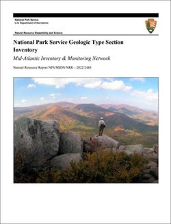
The geologic history above is excerpted from a report titled, "National Park Service geologic type section inventory: Mid-Atlantic Inventory & Monitoring Network". Type sections are essential reference locations for the geoscientists who study geologic history and paleontology. A summary of the type sections in each park can be found at the links below.
-
Appomattox Court House National Historical Park, Virginia (no designated stratotypes identified)
-
Booker T Washington National Monument, Virginia (no designated stratotypes identified)
-
Cedar Creek and Belle Grove National Historical Park, Virginia (one designated stratotype identified)
-
Eisenhower National Historic Site, Pennsylvania (no designated stratotypes identified)
-
Fredericksburg and Spotsylvania National Military Park, Virginia (no designated stratotypes identified)
-
Gettysburg National Military Park, Pennsylvania (no designated stratotypes identified)
-
Hopewell Furnace National Historic Site, Pennsylvania (no designated stratotypes identified)
-
Petersburg National Battlefield, Virginia (no designated stratotypes identified)
-
Richmond National Battlefield Park, Virginia (no designated stratotypes identified)
-
Shenandoah National Park, Virginia (contains three identified stratotypes)
-
Valley Forge National Historical Park, Pennsylvania (no designated stratotypes identified)
The full Network report is available in digital format from:
Please cite this publication as:
-
Henderson TC, Santucci VL, Connors T, Tweet JS. 2022. National Park Service geologic type section inventory: Mid-Atlantic Inventory & Monitoring Network. Natural Resource Report. NPS/MIDN/NRR—2022/2443. National Park Service.
NPS Stratotype Inventory
Fossil Resources—Mid-Atlantic Network

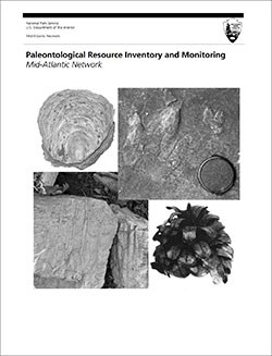
Between 2002 and 2011, network-based paleontological resource inventories were completed for all the 32 I&M networks, and six of the earliest were completely updated between 2012 and 2016. The report linked below summarizes the paleontological resources of all park units in the Mid-Atlantic Inventory & Monitoring Network (MIDN). The report provides geologic background and paleontological resource data for each park to support management operations, planning, and science-based decision making as required by NPS management policies and the Paleontological Resources Preservation Act (2009).
The full report is available in digital format from
Please cite this publication as:
-
Kenworthy, J. P., C. C. Visaggi, and V. L. Santucci. 2006. Paleontological Resource Inventory and Monitoring, Mid-Atlantic Network. National Park Service TIC# D-800. 85 pages.
Geodiversity Atlas pages—by Inventory & Monitoring Network
Arctic Network Index
Central Alaska Network Index
Chihuahuan Desert Network Index
Cumberland Piedmont Network Index
Eastern Rivers and Mountains Network Index
Great Lakes Network Index
Greater Yellowstone Network Index
Gulf Coast Network Index
Heartland Network Index
Klamath Network Index
Mediterranean Coast Network Index
Mid-Atlantic Network Index
Mojave Desert Network Index
National Capital Network Index
North Coast and Cascades Network Index
Northeast Coastal and Barrier Network Index
Northeast Temperate Network Index
Northern Colorado Plateau Network Index
Northern Great Plains Network Index
Pacific Islands Network Index
Rocky Mountain Network Index
San Francisco Bay Area Network Index
Sierra Nevada Network Index
Sonoran Desert Network Index
South Florida/Caribbean Network Index
Southeast Alaska Network Index
Southeast Coast Network Index
Southern Colorado Plateau Network Index
Southern Plains Network Index
Southwest Alaska Network Index
Upper Columbia Basin Network Index
Geodiversity Atlas pages—by State, U.S. Commonwealth, and Territories
Alabama | Alaska | Arizona | Arkansas | California | Colorado | Connecticut | District of Columbia | Delaware | Florida | Georgia | Hawaii | Idaho | Illinois | Indiana | Iowa | Kansas | Kentucky | Louisiana | Maine | Maryland | Massachusetts | Michigan | Minnesota | Mississippi | Missouri | Montana | Nebraska | Nevada | New Hampshire | New Jersey | New Mexico | New York | North Carolina | North Dakota | Ohio | Oklahoma | Oregon | Pennsylvania | Rhode Island | South Carolina | South Dakota | Tennessee | Texas | Utah | Vermont | Virginia | Washington | West Virginia | Wisconsin | Wyoming
U.S. Commonwealth and Territories
Region 2: South Atlantic-Gulf (Includes Puerto Rico and the U.S. Virgin Islands)
Region 3: Great Lakes
Region 4: Mississippi Basin
Region 5: Missouri Basin
Region 6: Arkansas-Rio Grande-Texas-Gulf
Region 7: Upper Colorado Basin
Region 8: Lower Colorado Basin
Region 9: Columbia-Pacific Northwest
Region 10: California-Great Basin
Region 11: Alaska
Region 12: Pacific Islands (American Samoa, Hawaii. Guam, Commonwealth of the Northern Mariana Islands)
Last updated: February 21, 2025
