NPS photo.
Geology and Stratigraphy of the South Florida/Caribbean I&M Network Parks
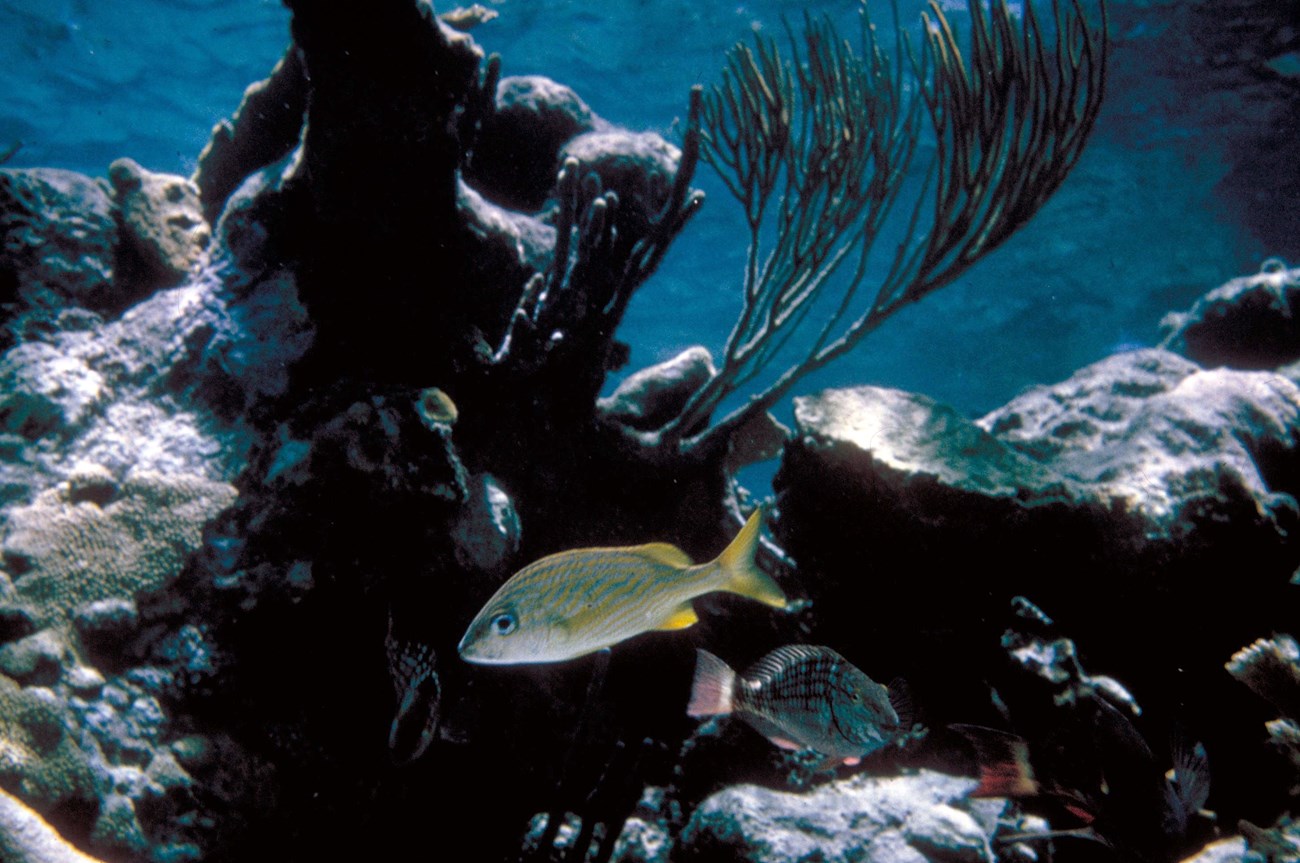
The South Florida/Caribbean Inventory & Monitoring Network (SFCN) consists of seven national park units distributed across the southern tip of the Florida peninsula, the Florida Keys, and the U.S. Virgin Islands. Park units of the SFCN include Big Cypress National Preserve (BICY), Biscayne National Park (BISC), Buck Island Reef National Monument (BUIS), Dry Tortugas National Park (DRTO), Everglades National Park (EVER), Salt River Bay National Historical Park and Ecological Preserve (SARI), and Virgin Islands National Park (VIIS). The SFCN parks occupy more than 1,010,000 hectares (2,500,000 acres) and vary in size from 400 hectares (989 acres) in SARI to 610,660 hectares (1,508,976 acres) in EVER. The SFCN includes maritime and coastal park units that protect fragile coral reef systems, subtropical keys, mangrove forests, volcanic islands, indigenous village sites, historic fortification structures, the world-renowned ecological resources of the Florida Everglades, and more.
The geologic history represented by the park units of the SFCN differs drastically from Florida to the U.S. Virgin Islands, as the U.S. Virgin Islands were formed during the Cretaceous and the oldest bedrock of the Florida Platform (upon which Florida is situated) dates from late Precambrian–early Cambrian to the Middle Jurassic (Scott 2011; see Appendix B for a geologic time scale). Prior to the Jurassic, the Florida Platform was adjacent to West Africa at a time when all continental landmasses were joined to form the supercontinent Pangea. As the supercontinent rifted apart beginning in the Late Triassic–Early Jurassic, the Atlantic Ocean, Caribbean Sea, and Gulf of Mexico began to form. Some of the oldest bedrock in Florida represents an ancient fragment of the African Plate that remained attached to the North American Plate when the landmasses separated (Scott 1992a, 2011). Since the mid-Mesozoic, marine carbonate sedimentation has dominated the southern Florida region. Several geologic elements of the SFCN, including the Florida Keys, Florida Reef tract, and mainland coastal areas, were slowly formed throughout several major sea level fluctuations. Carbonate deposition was particularly enhanced during warm, interglacial periods of relatively high sea level called highstands. Multiple episodes of sea level rise (transgression) and sea level fall (regression) throughout the Cenozoic have exposed the coastal carbonate rocks of southern Florida, making them susceptible to erosion and dissolution by acidic groundwater to form voids, sinkholes, springs, and caves. As the Pleistocene Ice Ages ended, sea levels rose and the climate of Florida became much wetter, resulting in the formation of the Everglades sometime around 6,000 to 4,000 years ago (Gleeson and Stone 1994; Allen and Main 2005).
The U.S. Virgin Islands are comprised of three main islands (St. John, St. Thomas, and St. Croix Islands) and numerous smaller islands located within the boundary zone between the Caribbean and North American Plates. Structurally, the Caribbean Plate is bounded to the north and south by strike-slip faults, and on the east and west by subduction zones (Rankin 2002). The geology of St. John Island and St. Thomas Island (VIIS) dates to the Mesozoic Era, as the islands originated during the Cretaceous approximately 100 million years ago as a result of subduction-related volcanism of the east–west-trending Greater Antilles volcanic arc (Rankin 2002). Volcanic rocks of the Cretaceous Lameshur Volcanic-Intrusive Complex are widespread across both islands and predominantly include lava flows, flow breccias, and pyroclastic rocks indicative of the islands igneous origins. A popular misconception about St. Croix Island (BUIS, SARI) is that it is an extinct volcano. Although volcanoes are present on many nearby islands, the rocks underlying St. Croix are predominantly comprised of volcanic sedimentary rocks that were deposited on the ocean floor during the Cretaceous about 80 million years ago and were later uplifted prior to the Oligocene due to compressive tectonic forces (Whetten 1968). As St. Croix Island slowly emerged from the sea, the Northside and East End Ranges formed two separate smaller islands joined by a large coral reef that would later become the Miocene Kingshill Marl (Whetten 1968).
A Brief Geologic History
A few examples of events and Network resources in each geologic time period are highlighted below, from youngest to oldest.
The oldest rocks of the Cenozoic Era mapped within SFCN include Eocene-age dikes that intrude older Cretaceous strata in the northern St. John Island area of VIIS. Calcareous conglomerate and dark clay-rich strata of the Oligocene Jealousy Formation are mapped in southern SARI near the mouth of the Salt River. Several geologic units are distributed across multiple parks of the SFCN and include the Pliocene Tamiami Formation (BICY, EVER) and Pleistocene units of the Miami Limestone (BICY, BISC, EVER) and Key Largo Limestone (BISC, EVER). Unconsolidated Quaternary surficial deposits occur in all the SFCN parks and include beach sands and alluvium (BUIS, EVER, SARI, VIIS), carbonate mud (BISC, EVER), marl underlain by peat (BISC, EVER), and benthic reef system units (DRTO).
Rocks of the Mesozoic Era are restricted to the three U.S. Virgin Island park units of the SFCN and consist of Cretaceous sedimentary and igneous strata. The Caledonia Formation (BUIS) and Judith Fancy Formation (SARI) are both heterogeneous formations comprised of tuffaceous sandstone, conglomerate, mudstone, and limestone. The bedrock of VIIS is composed of a diverse assemblage of units including the Lameshur Volcanic-Intrusive Complex (Water Island Formation, Careen Hill Intrusive Suite), Louisenhoj Formation, Outer Brass Limestone, and Tutu Formation that form a large portion of St. John and St. Thomas Islands.
The SFCN parks do not include any exposed or mapped Precambrian or Paleozoic rocks within park boundaries.
The SFCN parks do not include any exposed or mapped Precambrian or Paleozoic rocks within park boundaries.
Geology & Soils—South Florida/Caribbean Network Parks
Type Sections—Sierra Nevada Network

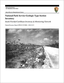
The geologic history above is excerpted from a report titled, "National Park Service geologic type section inventory: South Florida/Caribbean Inventory & Monitoring Network". Type sections are essential reference locations for the geoscientists who study geologic history and paleontology. A summary of the type sections in each park can be found at the links below.
-
Big Cypress National Preserve, Florida (one identified stratotype)
-
Biscayne National Park, Florida (no designated stratotypes identified)
-
Buck Island Reef National Monument, U.S. Virgin Islands (no designated stratotypes identified)
-
Dry Tortugas National Park, Florida (no designated stratotypes identified)
-
Everglades National Park, Florida (no designated stratotypes identified)
-
Salt River Bay National Historical Park and Ecological Reserve, U.S. Virgin Islands (one identified stratotype)
-
Virgin Islands National Park, U.S. Virgin Islands (no designated stratotypes identified)
The full Network report is available in digital format from:
Please cite this publication as:
-
Henderson TC, Santucci VL, Connors T, Tweet JS. 2022. National Park Service geologic type section inventory: South Florida/Caribbean Inventory & Monitoring Network. Natural Resource Report. NPS/SFCN/NRR—2022/2433. National Park Service. Fort Collins, Colorado.
NPS Stratotype Inventory
Fossil Resources—South Florida/Caribbean Network

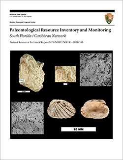
Between 2002 and 2011, network-based paleontological resource inventories were completed for all the 32 I&M networks, and six of the earliest were completely updated between 2012 and 2016. The report linked below summarizes the paleontological resources of all park units in the South Florida/Caribbean Inventory & Monitoring Network (SFCN). The report provides geologic background and paleontological resource data for each park to support management operations, planning, and science-based decision making as required by NPS management policies and the Paleontological Resources Preservation Act (2009).
The full report is available in digital format from
-
DataStore - Paleontological resource inventory and monitoring—South Florida / Caribbean Network (nps.gov)
Please cite this publication as:
-
Toscano, M. A. , J. P. Kenworthy, and V. L. Santucci. 2010. Paleontological resource inventory and monitoring—South Florida / Caribbean Network. Natural Resource Technical Report NPS/NRPC/NRTR—2010/335. National Park Service, Fort Collins, Colorado.
Geodiversity Atlas pages—by Inventory & Monitoring Network
Arctic Network Index
Central Alaska Network Index
Chihuahuan Desert Network Index
Cumberland Piedmont Network Index
Eastern Rivers and Mountains Network Index
Great Lakes Network Index
Greater Yellowstone Network Index
Gulf Coast Network Index
Heartland Network Index
Klamath Network Index
Mediterranean Coast Network Index
Mid-Atlantic Network Index
Mojave Desert Network Index
National Capital Network Index
North Coast and Cascades Network Index
Northeast Coastal and Barrier Network Index
Northeast Temperate Network Index
Northern Colorado Plateau Network Index
Northern Great Plains Network Index
Pacific Islands Network Index
Rocky Mountain Network Index
San Francisco Bay Area Network Index
Sierra Nevada Network Index
Sonoran Desert Network Index
South Florida/Caribbean Network Index
Southeast Alaska Network Index
Southeast Coast Network Index
Southern Colorado Plateau Network Index
Southern Plains Network Index
Southwest Alaska Network Index
Upper Columbia Basin Network Index
Geodiversity Atlas pages—by State, U.S. Commonwealth, and Territories
Alabama | Alaska | Arizona | Arkansas | California | Colorado | Connecticut | District of Columbia | Delaware | Florida | Georgia | Hawaii | Idaho | Illinois | Indiana | Iowa | Kansas | Kentucky | Louisiana | Maine | Maryland | Massachusetts | Michigan | Minnesota | Mississippi | Missouri | Montana | Nebraska | Nevada | New Hampshire | New Jersey | New Mexico | New York | North Carolina | North Dakota | Ohio | Oklahoma | Oregon | Pennsylvania | Rhode Island | South Carolina | South Dakota | Tennessee | Texas | Utah | Vermont | Virginia | Washington | West Virginia | Wisconsin | Wyoming
U.S. Commonwealth and Territories
Region 2: South Atlantic-Gulf (Includes Puerto Rico and the U.S. Virgin Islands)
Region 3: Great Lakes
Region 4: Mississippi Basin
Region 5: Missouri Basin
Region 6: Arkansas-Rio Grande-Texas-Gulf
Region 7: Upper Colorado Basin
Region 8: Lower Colorado Basin
Region 9: Columbia-Pacific Northwest
Region 10: California-Great Basin
Region 11: Alaska
Region 12: Pacific Islands (American Samoa, Hawaii. Guam, Commonwealth of the Northern Mariana Islands)
Last updated: February 21, 2025
