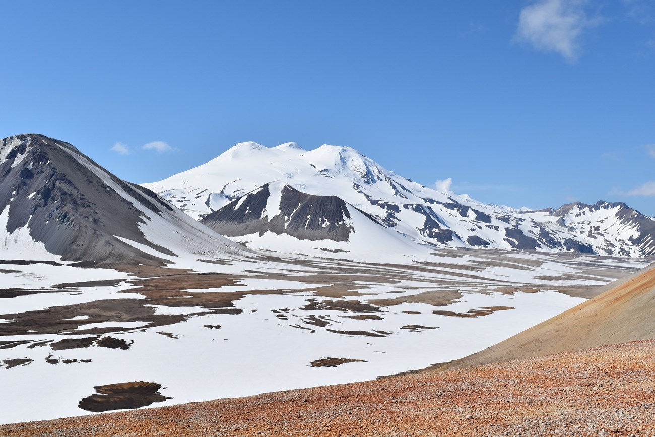
Photograph by Alexander Prusevich (University of New Hampshire).
Geology and Stratigraphy of the Southwest Alaska I&M Network Parks
The Southwest Alaska Inventory and Monitoring Network (SWAN) includes five national park units located on the Alaska and Kenai peninsulas of southwestern Alaska. The five NPS units are Alagnak Wild River (ALAG), Aniakchak National Monument and Preserve (ANIA), Katmai National Park and Preserve (KATM), Kenai Fjords National Park (KEFJ), and Lake Clark National Park and Preserve (LACL). Collectively, the SWAN park units encompass approximately 3.8 million hectares (9.4 million acres) and preserve exceptional geologic features, landforms, marine coastlines, aquatic systems, wilderness, flora, and fauna.
The SWAN park units preserve a wide variety of geologic features and landscapes including mountains, volcanoes, and glaciers. ANIA preserves a large 3,600-year-old volcanic caldera along the volcanic arc of the Alaska Peninsula and Aleutian Islands. KATM preserves the Valley of Ten Thousand Smokes, Katmai caldera, and Novarupta which formed during the largest volcanic eruption 4 of the 20th century. KEFJ preserves the extensive Harding Ice Field. Geologic Resource Inventory reports for ALAG and KATM (Hults and Fierstein 2016), ANIA (Hults and Neal 2015), KEFJ (Lanik et al. 2018), and LACL (Lanik et al. in press) present detailed information on the geologic resources of these SWAN park units.
A Brief Geologic History
A few examples of events and Network resources in each geologic time period are highlighted below, from youngest to oldest.
Igneous rocks are documented during the Cenozoic for all the SWAN parks. Paleocene and Eocene units include the Tolstoi Formation (ANIA), Copper Lake Formation (KATM), and West Foreland Formation (LACL) . Granitic rocks of the Harding Icefield region date to the Paleocene and Eocene. The Meshik Volcanics, which range in age from Middle Eocene to Early Oligocene, are documented in ANIA, KATM and LACL. The Hemlock Conglomerate is a Late Oligocene unit at KATM. The Tyonek Formation is a Late Oligocene–Middle Miocene unit mapped at LACL. The Gibraltar Lake Tuff at KATM is between Oligocene and Pliocene in age, though likely Pliocene. Quaternary surficial units occur in all of the SWAN park units (Wilson et al. 2015).
The Late Triassic-age Kamishak Formation and Cottonwood Bay Greenstone are exposed at or near KATM and LACL. Additionally, the Late Triassic Chilikadrotna Greenstone and the Tlikakila complex and other unnamed metamorphic rocks are present at LACL (Wilson et al. 2015).
Jurassic rocks are documented at ANIA, KATM, and LACL. The Early Jurassic Talkeetna Formation occurs at both KATM and LACL. The Middle Jurassic is represented at KATM by the Shelikof Formation, and a half-dozen Middle Jurassic formations within the Tuxedni Group are mapped at LACL (Wilson et al. 2015). The Late Jurassic Naknek Formation is mapped at ANIA, KATM, and LACL. Extensive Jurassic and Cretaceous plutonic rocks are mapped in LACL and KATM (Wilson et al. 2015).
Rocks of Early Cretaceous age are represented by the Staniukovich, Herendeen and Pedmar Formations at KATM, and igneous dikes at KEFJ span from the Early Cretaceous into the Cenozoic. Late Cretaceous units include the Hoodoo and Chignik Formations at ANIA, the Valdez Group at KEFJ, the Kuskokwim Group at LACL, and the Kaguyak Formation at KATM and LACL (Figure 2; Wilson et al. 2015).
The only Paleozoic rocks documented in SWAN include low-grade metamorphic rocks of Paleozoic through Jurassic age that occur at ALAG and KATM.
Precambrian rocks are not exposed in any of the parks in SWAN (see also geologic time scale).
Geology & Soils—Southwest Alaska Network Parks
Type Sections—Southwest Alaska Network

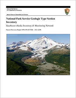
The geologic history above is excerpted from a report titled, "National Park Service geologic type section inventory: Southwest Alaska Inventory & Monitoring Network". Type sections are essential reference locations for the geoscientists who study geologic history and paleontology. A summary of the type sections in each park can be found at the links below.
-
Alagnak Wild River, Alaska (no designated stratotypes identified)
-
Aniakchak National Monument and Preserve, Alaska (contains two identified stratotypes)
-
Katmai National Park and Preserve, Alaska (contains six identified stratotypes)
-
Kenai Fjords National Park, Alaska (no designated stratotypes identified)
-
Lake Clark National Park and Preserve, Alaska (contains seven identified stratotypes)
The full Network report is available in digital format from:
Please cite this publication as:
-
Henderson T, Santucci VL, Connors T, Tweet JS. 2021. National Park Service geologic type section inventory: Southwest Alaska Inventory & Monitoring Network. Natural Resource Report. NPS/SWAN/NRR—2021/2296. National Park Service. Fort Collins, Colorado.
NPS Stratotype Inventory
Fossil Resources—Southwest Alaska Network

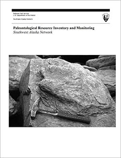
Between 2002 and 2011, network-based paleontological resource inventories were completed for all the 32 I&M networks, and six of the earliest were completely updated between 2012 and 2016. The report linked below summarizes the paleontological resources of all park units in the Southwest Alaska Inventory & Monitoring Network (SWAN). The report provides geologic background and paleontological resource data for each park to support management operations, planning, and science-based decision making as required by NPS management policies and the Paleontological Resources Preservation Act (2009).
The full report is available in digital format from
Please cite this publication as:
-
Kenworthy J and Santucci VL. 2003. Paleontological resource inventory and monitoring Southwest Alaska Network. Southwest Alaska Network, National Park Service.
Geodiversity Atlas pages—by Inventory & Monitoring Network
Arctic Network Index
Central Alaska Network Index
Chihuahuan Desert Network Index
Cumberland Piedmont Network Index
Eastern Rivers and Mountains Network Index
Great Lakes Network Index
Greater Yellowstone Network Index
Gulf Coast Network Index
Heartland Network Index
Klamath Network Index
Mediterranean Coast Network Index
Mid-Atlantic Network Index
Mojave Desert Network Index
National Capital Network Index
North Coast and Cascades Network Index
Northeast Coastal and Barrier Network Index
Northeast Temperate Network Index
Northern Colorado Plateau Network Index
Northern Great Plains Network Index
Pacific Islands Network Index
Rocky Mountain Network Index
San Francisco Bay Area Network Index
Sierra Nevada Network Index
Sonoran Desert Network Index
South Florida/Caribbean Network Index
Southeast Alaska Network Index
Southeast Coast Network Index
Southern Colorado Plateau Network Index
Southern Plains Network Index
Southwest Alaska Network Index
Upper Columbia Basin Network Index
Geodiversity Atlas pages—by State, U.S. Commonwealth, and Territories
Alabama | Alaska | Arizona | Arkansas | California | Colorado | Connecticut | District of Columbia | Delaware | Florida | Georgia | Hawaii | Idaho | Illinois | Indiana | Iowa | Kansas | Kentucky | Louisiana | Maine | Maryland | Massachusetts | Michigan | Minnesota | Mississippi | Missouri | Montana | Nebraska | Nevada | New Hampshire | New Jersey | New Mexico | New York | North Carolina | North Dakota | Ohio | Oklahoma | Oregon | Pennsylvania | Rhode Island | South Carolina | South Dakota | Tennessee | Texas | Utah | Vermont | Virginia | Washington | West Virginia | Wisconsin | Wyoming
U.S. Commonwealth and Territories
Region 2: South Atlantic-Gulf (Includes Puerto Rico and the U.S. Virgin Islands)
Region 3: Great Lakes
Region 4: Mississippi Basin
Region 5: Missouri Basin
Region 6: Arkansas-Rio Grande-Texas-Gulf
Region 7: Upper Colorado Basin
Region 8: Lower Colorado Basin
Region 9: Columbia-Pacific Northwest
Region 10: California-Great Basin
Region 11: Alaska
Region 12: Pacific Islands (American Samoa, Hawaii. Guam, Commonwealth of the Northern Mariana Islands)
Last updated: February 21, 2025
